WATERS OF LIFE
THE WATER MASSES
- INTRODUCTION - THE WATER MASSES
- NORTH SHORE
- WATERWAY
- SOUTH SHORE
- PORTRAIT OF LAKE SAINT-PIERRE

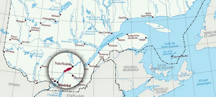
Lake Saint-Pierre is fed by many tributaries originating from various drainage basins. This last fluvial lake on the St. Lawrence River has a surface area of nearly 500 km2 but can expand to more than 600 km2 during spring flooding.

This enormous lake has a drainage basin of over a million square kilometres.
WWW | USEFUL LINK - LE BASSIN VERSANT

As the waters from various tributaries flow into Lake Saint-Pierre, they mix very little. They form three separate water masses with different physico-chemical properties. The water masses flow side by side from one end of the lake to the other. Seen from an airplane or satellite, they are easily distinguished by their colour. These three water masses do not mix completely until they arrive near Quebec City.

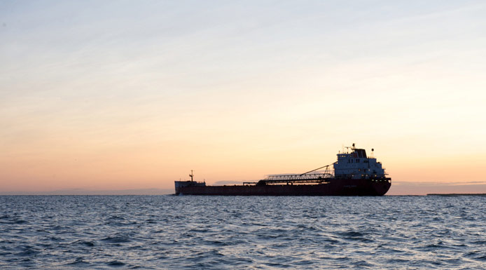
A waterway separates the northern and southern water masses. The separation of the water masses is due to the shallowness of the lake (3 metres on average) and to the presence of the waterway, which canalizes a large portion of the water originating from the Great Lakes.

The rate of flow of the water in the waterway acts as a wall that separates the northern and southern water masses.

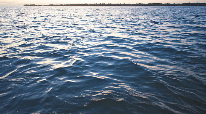
Observe the immensity of Lake Saint-Pierre.

In the center of this photograph, the plume of wastewater emitted by the Montreal sewage treatment
The characteristics of the water are mainly dependent on soil geology and human influences on the watershed.
Wastewater effluents from large cities located upstream, especially Montreal, as well as agricultural activities involving large-scale fertilizer use, release large amounts of nutrients (phosphorus and nitrogen) and pollutants.

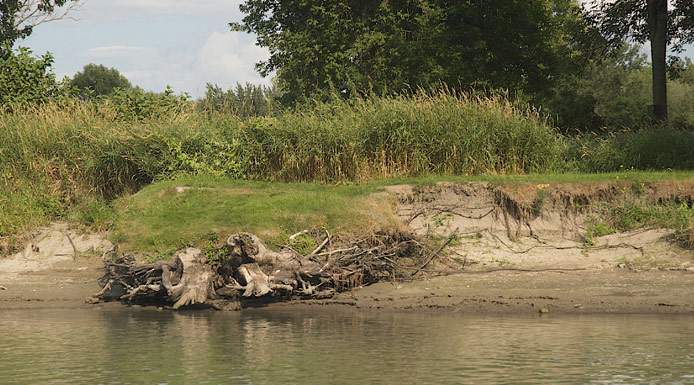
When they drink the water from the channel, cows trample the bank.

The soil is easily weathered and reacts in contact with water, releasing ions into the lake.

Lake Saint-Pierre has an average depth of 3 metres, and is thus very shallow relative to its surface area. However, the waterway, which is approximately 250 metres wide, reaches a depth of around 11.3 metres.
