
WATERS OF LIFE
THE WATER MASSES
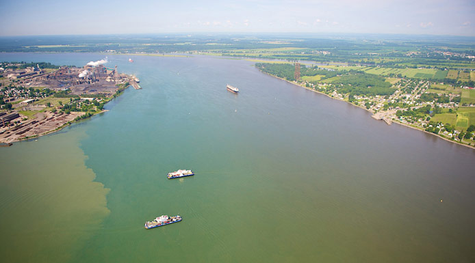
WATERWAY
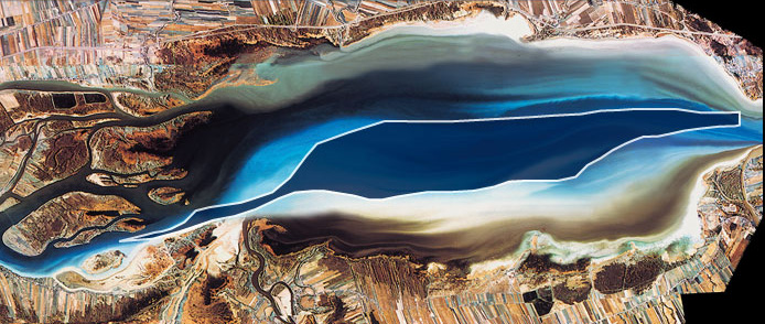
Satellite photograph highlighting the central water mass of Lake Saint-Pierre.
Source of the water masses
The central water mass of Lake Saint-Pierre is fed by the Great Lakes. It contributes around 70 % of Lake Saint-Pierre’s water volume.
Physical characteristics
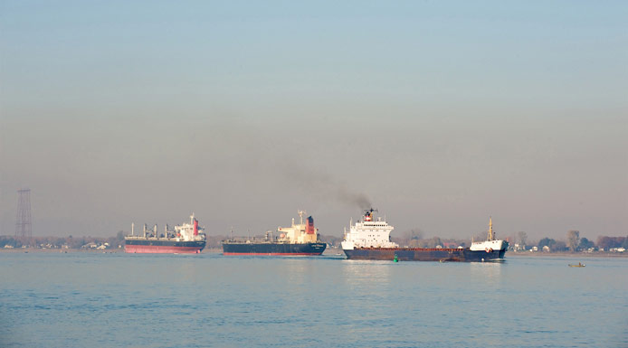
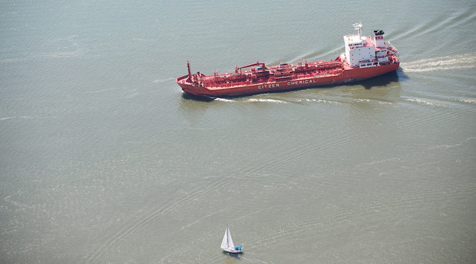
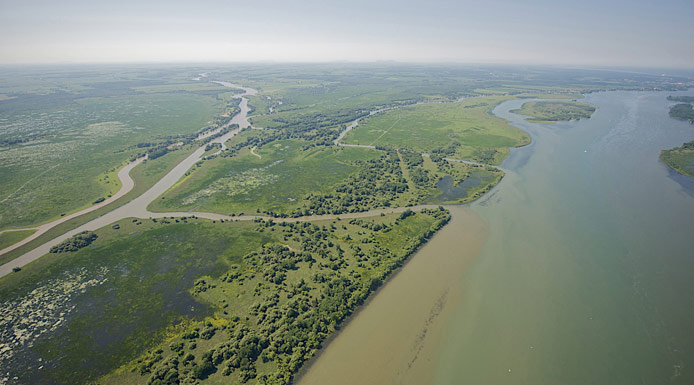
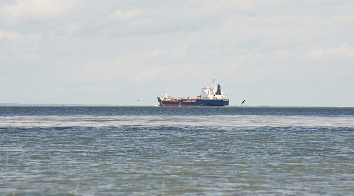
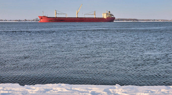
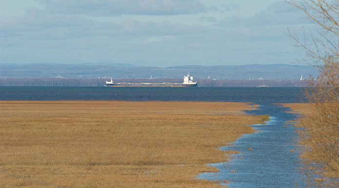
A prominent feature of the central water mass is the waterway. It is used by commercial ships transporting goods to the Great Lakes and the United States.
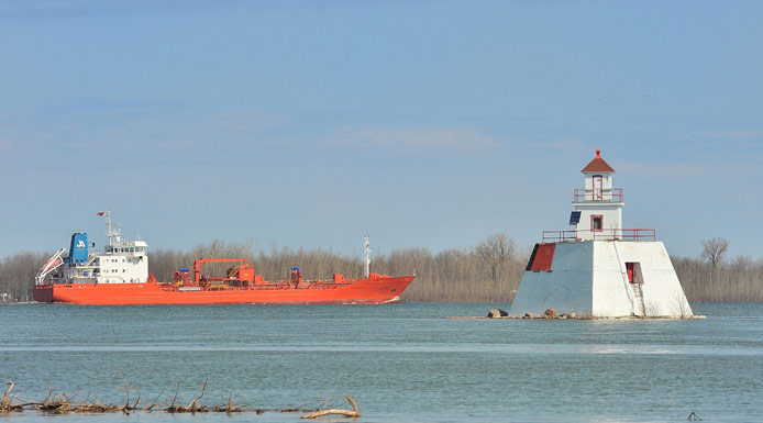
The lighthouse of Île du Moine
To allow these ships to sail up the river, a channel was dredged along the bottom. The channel’s depth is maintained at 11.3 metres.
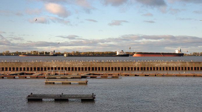
St. Lawrence River in front of port of Sorel-Tracy
The channel canalizes most of the water arriving from the Great Lakes.
The water in the waterway flows at a much greater speed than the water near the shores of the lake. The presence of the waterway accentuates the separation of the various water masses of Lake Saint-Pierre.
Because of its depth and high rate of flow, the waterway is not ideal for aquatic plants to become established .
Furthermore, nutrients (nitrogen and phosphorus) are present in lower concentrations than in the northern and southern water masses.
The water in the waterway is much clearer than in the two adjacent water masses.
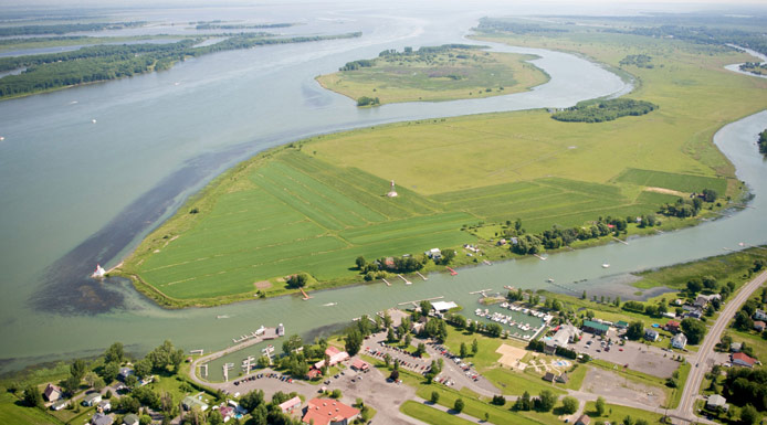
Waterway (clearer line)
This greater transparency results from the distance the water has flowed through the deep-water basins of the Great Lakes. During this long journey, suspended matter deposits into the sediments.
Disturbances

Lake Saint-Pierre has undergone major changes over the past 150 years.
WWW | USEFUL LINK - MODIFICATIONS ANTHROPIQUES SUR 150 ANS DU LAC SAINT-PIERRE
To permit commercial boats to pass through Lake Saint-Pierre, an artificial channel was dug in the centre of the lake.
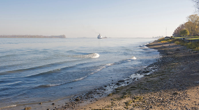
Over time, the navigation channel was dredged to a greater depth. Today, the channel is 11.3 metres deep.
Commercial navigation also requires that ice and water levels be controlled.
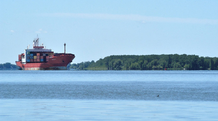
Container ship
There is constant pressure from various parties who want the channel dredged deeper in order to increase its capacity.
The navigation channel concentrates the waters of Lake Saint-Pierre in this zone.
Lake Saint-Pierre
This increases water flow in this part of the lake and reduces the mixing of the northern and southern water masses.
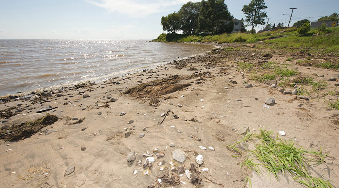
Lake Saint-Pierre North shore
This channel also reduces the amount of water near the banks.
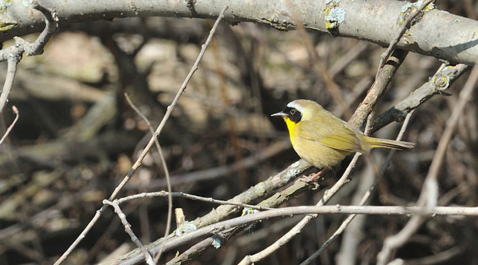
Common Yellowthroat
Various species of birds and benthic organisms live in these shallow areas.
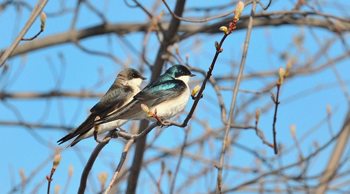
Tree Swallow
The swallows are frequently observed.
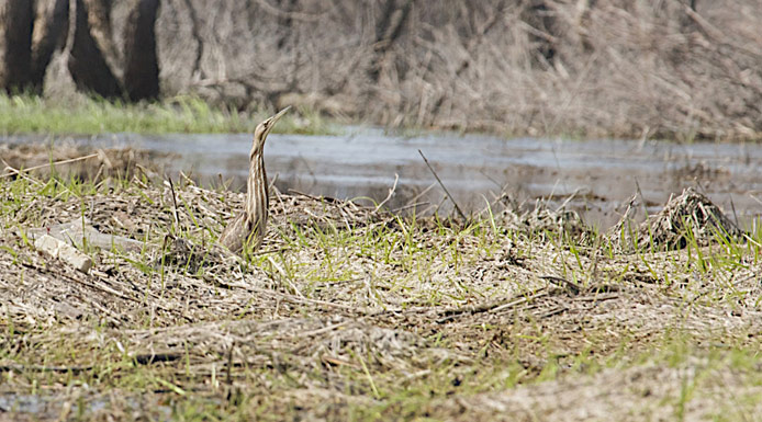
American Bittern
The American Bittern is camouflaged in the vegetation of the marsh.
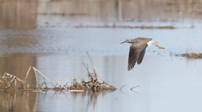
Lesser Yellowlegs
In wetlands, there is Lesser Yellowlegs in abundance.
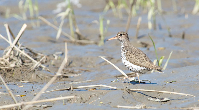
Spotted Sandpiper
Spotted Sandpiper is another shorebird very present in the marsh.
Lake Saint-Pierre South shore
Any decrease in water levels leads to habitat loss. The areas near the shore dry up, greatly reducing biodiversity.