
WATERS OF LIFE
THE WATER MASSES
- INTRODUCTION - THE WATER MASSES
- NORTH SHORE
- WATERWAY
- SOUTH SHORE
- PORTRAIT OF LAKE SAINT-PIERRE
SOUTH SHORE

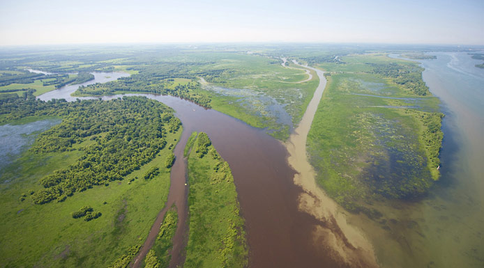
Satellite photograph highlighting the south shore waters of Lake Saint-Pierre.
Source of the water masses
Richelieu River at the junction of the St. Lawrence River
The southern water mass is fed by the Richelieu, Yamaska and Saint-François Rivers.
Yamaska and Saint-François Rivers joining before the St. Lawrence River
Put together, these rivers contribute 10 % of Lake Saint-Pierre’s water flow; however, their water is spread over 20 % to 30 % of the lake’s surface area.
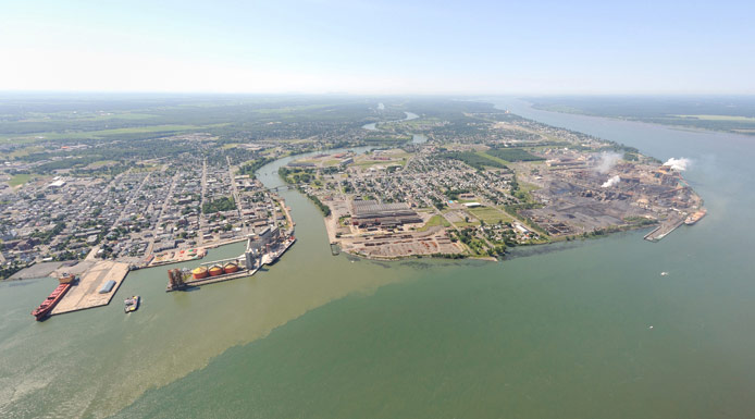
Physical characteristics

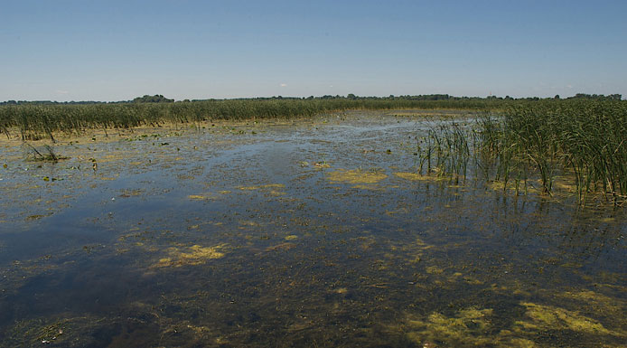
The waters near the south shore are much browner and more turbid than the waters of the waterway. This aerial photo shows the brown waters of the north shore (on the right) and south shore (on the left). In the centre, you can see the green waters of the waterway.

Arrowheads in a marsh
Water flows very slowly near the banks. During the summer, the water becomes stagnant in certain areas.
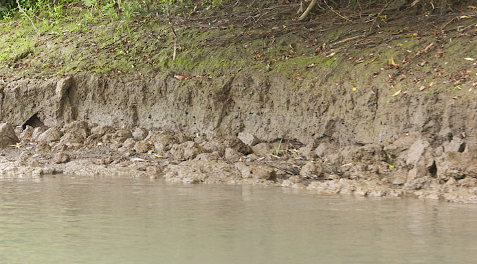
This part of the lake has the highest concentration of nutrients and suspended matter.
Disturbances

Lavallière Bay
The south shore receives very high nutrient loads (phosphorus and nitrogen) from the tributaries that feed it.
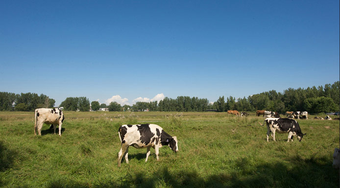
A large proportion of the land in these rivers’ watersheds is dedicated to agricultural use.
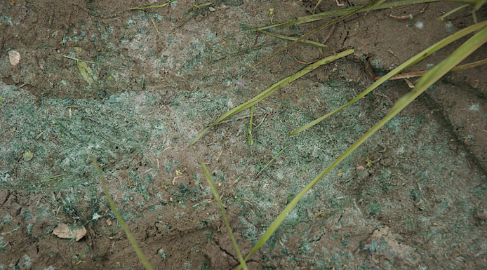
This superabundance of nutrients, along with the stagnant waters, leads to an excessive growth of plants and algae, including cyanobacteria.
Vast areas are colonized by dense mats of algae and vegetation.
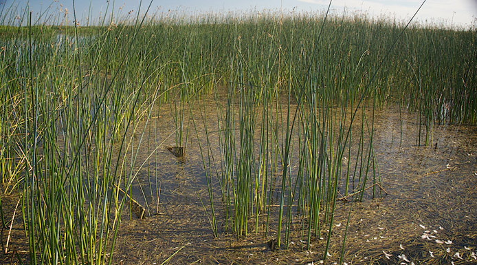
Furthermore, the south shore is sheltered from prevailing winds; this promotes the growth of abundant vegetation.

By taking up nutrients, the plants increase water transparency. However, when there are too many plants, they impede water activities.
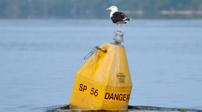
Great Black-backed Gull
From 1952 to 2000, the lake south of the navigation channel was used as a shooting range by the Canadian army base in Nicolet.

Nearly 300,000 projectiles, some of which are potentially explosive, lie on the lake bottom. This part of the lake is therefore off limits to pleasure boaters, hunters and fishers. However, it serves as a refuge for wildlife.